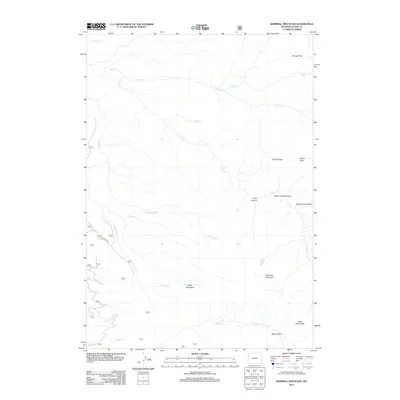
2012 Map of Rammell Mountain
USGS Topo · Published 2012About this map
Rammell Mountain stands as a central topographic landmark in this high-altitude landscape within Teton County, where a complex network of glacial and snowmelt-fed streams defines the drainage patterns. The hydrology of the area is dominated by the many forks of Bitch Cr, including the distinctive Bitch Creek Narrows and the S Bitch Cr which flows out of Bear Canyon. These waters carve through the varied terrain of Carrot Ridge and Mount Nord, creating secluded geographic features such as Hidden Corral Basin.
Find a feature on this map
29 named features on this map. Tap any name to fly to it.
Don’t see what you’re looking for? This feature index may not catch every label — zoom into the map to look around manually.
Map Details
Editions of this 2012 Rammell Mountain Map
This is the sole edition of this map. No revisions or reprints were ever made.
Other maps of this area

1886 · Shoshone
USGS Topo · 1:125,000

1888 · Shoshone
USGS Topo · 1:125,000

1895 · Shoshone
USGS Topo · 1:125,000

1899 · Grand Teton
USGS Topo · 1:125,000

1901 · Shoshone
USGS Topo · 1:125,000

1901 · Grand Teton
USGS Topo · 1:125,000

1908 · Shoshone
USGS Topo · 1:125,000

1911 · Shoshone
USGS Topo · 1:125,000

1955 · Ashton
USGS Topo · 1:250,000

1955 · Driggs
USGS Topo · 1:250,000