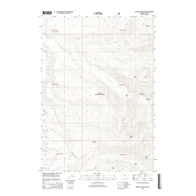
2015 Map of Rammell Mountain
USGS Topo · Published 2015About this map
Targhee National Forest dominates this high-altitude landscape in Teton County, where complex drainages and sharp ridgelines define the terrain. The central mass of Rammell Mountain stands as a focal point, flanked by remote features such as Carrot Ridge and Mt Nord. A network of back-country routes, including the Jackpine-Pinochle Loop and the Bear Walk, connects isolated landmarks like Dead Horse Pass and Indian Meadows. The map reveals the intricate hydrography of the region, specifically the convergence of North Bitch Creek and South Bitch Creek at the Bitch Creek Narrows. This document illustrates a wilderness preserved for its natural character, noting specific gathering points like the Indian Meadows Trailhead that provide access to the Hidden Corral Basin and the high flats of Willow Flats.
Find a feature on this map
39 named features on this map. Tap any name to fly to it.
Don’t see what you’re looking for? This feature index may not catch every label — zoom into the map to look around manually.
Map Details
Editions of this 2015 Rammell Mountain Map
This is the sole edition of this map. No revisions or reprints were ever made.
Other maps of this area

1886 · Shoshone
USGS Topo · 1:125,000

1888 · Shoshone
USGS Topo · 1:125,000

1895 · Shoshone
USGS Topo · 1:125,000

1899 · Grand Teton
USGS Topo · 1:125,000

1901 · Shoshone
USGS Topo · 1:125,000

1901 · Grand Teton
USGS Topo · 1:125,000

1908 · Shoshone
USGS Topo · 1:125,000

1911 · Shoshone
USGS Topo · 1:125,000

1955 · Ashton
USGS Topo · 1:250,000

1955 · Driggs
USGS Topo · 1:250,000