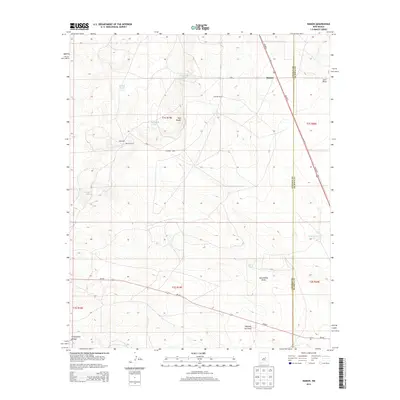
2013 Map of Ramon
USGS Topo · Published 2013About this map
Ramon sits along the high plains of the Lincoln Co De Baca Co line, serving as a primary point of reference in this arid ranching landscape. The area is defined by its strategic water management, shown through a series of named tanks and catchments such as Schoolhouse Tank, Bethell Tank, and Burnt Tank that support local livestock operations. These features, along with the Simpson Ranch and Merritt Ranch, illustrate the importance of established landholdings in this part of New Mexico.
Find a feature on this map
24 named features on this map. Tap any name to fly to it.
Don’t see what you’re looking for? This feature index may not catch every label — zoom into the map to look around manually.
Map Details
Editions of this 2013 Ramon Map
This is the sole edition of this map. No revisions or reprints were ever made.
Other maps of this area

1954 · Fort Sumner
USGS Topo · 1:250,000

1958 · Fort Sumner
USGS Topo · 1:250,000

1967 · Wire Lake
USGS Topo · 1:24,000

1967 · Ramon
USGS Topo · 1:24,000

1967 · Ramon SW
USGS Topo · 1:24,000

1967 · Wright Ranch
USGS Topo · 1:24,000

1979 · Fort Sumner
USGS Topo · 1:100,000

1980 · Corona
USGS Topo · 1:100,000

1981 · Loco Draw
USGS Topo · 1:24,000

1981 · Cowboy Mesa NE
USGS Topo · 1:24,000