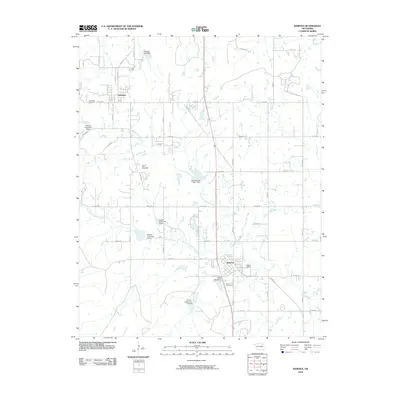
2010 Map of Ramona
USGS Topo · Published 2010About this map
The town of Ramona serves as a primary hub in this portion of Washington County, situated along a grid of section-line roads and the north-south corridor of U.S. 75. The landscape is heavily defined by the watershed of the Caney River, which clips the northeastern corner, and the complex drainage systems of North Fork Double Creek and South Fork Double Creek. These waterways are managed by a series of flood-control structures, including Double Creek Site 1 Dam and Double Creek Site 6 Dam.
Find a feature on this map
41 named features on this map. Tap any name to fly to it.
Don’t see what you’re looking for? This feature index may not catch every label — zoom into the map to look around manually.
Map Details
Editions of this 2010 Ramona Map
This is the sole edition of this map. No revisions or reprints were ever made.
Other maps of this area

1901 · Claremore
USGS Topo · 1:125,000

1901 · Nowata
USGS Topo · 1:125,000

1909 · Pawhuska
USGS Topo · 1:125,000

1910 · Pawhuska
USGS Topo · 1:125,000

1912 · Hominy
USGS Topo · 1:125,000

1914 · Nowata
USGS Topo · 1:125,000

1914 · Claremore
USGS Topo · 1:125,000

1915 · Hominy
USGS Topo · 1:125,000

1916 · Claremore
USGS Topo · 1:125,000

1954 · Tulsa
USGS Topo · 1:250,000