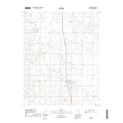
2019 Map of Ramona
USGS Topo · Published 2019About this map
Ramona and Ochelata serve as the primary anchors for this section of Washington County, Oklahoma. The landscape is defined by the drainage systems of the Caney River and North Fork Double Creek, which carve through a terrain punctuated by the Twin Mounds landmark. Significant for genealogists and local historians, the sheet identifies several local burial grounds including Ochelata Cem, Ceasar Cem, and Ramona Cem. Near the center of the map, Lake Todd sits just south of the Ramona townsite. The region's layout is structured by a grid of rural routes such as W 2800 RD and SE Washington Blvd, which facilitate travel between the small residential clusters and the surrounding agricultural and ranching lands.
Find a feature on this map
56 named features on this map. Tap any name to fly to it.
Don’t see what you’re looking for? This feature index may not catch every label — zoom into the map to look around manually.
Map Details
Editions of this 2019 Ramona Map
This is the sole edition of this map. No revisions or reprints were ever made.
Other maps of this area

1901 · Claremore
USGS Topo · 1:125,000

1901 · Nowata
USGS Topo · 1:125,000

1909 · Pawhuska
USGS Topo · 1:125,000

1910 · Pawhuska
USGS Topo · 1:125,000

1912 · Hominy
USGS Topo · 1:125,000

1914 · Nowata
USGS Topo · 1:125,000

1914 · Claremore
USGS Topo · 1:125,000

1915 · Hominy
USGS Topo · 1:125,000

1916 · Claremore
USGS Topo · 1:125,000

1954 · Tulsa
USGS Topo · 1:250,000