2022 Map of Ramona
USGS Topo · Published 2022About this map
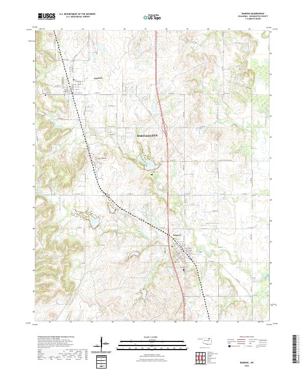
Ramona and Ochelata are the primary settlements in this portion of the Oklahoma landscape, connected by the north-south corridor of US Highway 75. The terrain is defined by the branching tributaries of the Caney River, including North Fork Double Creek and S Fork Double Cr, which carve through the plains. A significant local landmark, the Twin Mounds, rises between these watercourses, providing a distinct topographical break in an area otherwise characterized by rural homesteads and agricultural allotments.
Find a feature on this map
66 named features on this map. Tap any name to fly to it.
Don’t see what you’re looking for? This feature index may not catch every label — zoom into the map to look around manually.
Map Details
Editions of this 2022 Ramona Map
This is the sole edition of this map. No revisions or reprints were ever made.