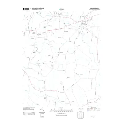
2013 Map of Ramseur
USGS Topo · Published 2013About this map
The Deep River carves a winding path through this Randolph County landscape, anchoring the historic riverside communities of Ramseur and Franklinville. In this early 21st-century portrait, the area's geography is defined by the elevation of Iron Mountain, Fox Mountain, and the prominent Pilot Mountain, which rise above the surrounding creek valleys. The settlement pattern follows a network of rural roads and highways, including Route 64 and Route 49, which intersect near the heart of the river towns.
Find a feature on this map
176 named features on this map. Tap any name to fly to it.
Don’t see what you’re looking for? This feature index may not catch every label — zoom into the map to look around manually.
Map Details
Editions of this 2013 Ramseur Map
This is the sole edition of this map. No revisions or reprints were ever made.
Other maps of this area

1953 · Raleigh
USGS Topo · 1:250,000

1954 · Raleigh
USGS Topo · 1:250,000

1957 · Asheboro
USGS Topo · 1:62,500

1968 · Ramseur
USGS Topo · 1:24,000

1968 · Coleridge
USGS Topo · 1:24,000

1968 · Erect
USGS Topo · 1:24,000

1968 · Bennett
USGS Topo · 1:24,000

1970 · Randleman
USGS Topo · 1:24,000

1970 · Asheboro
USGS Topo · 1:24,000

1973 · Seagrove
USGS Topo · 1:24,000