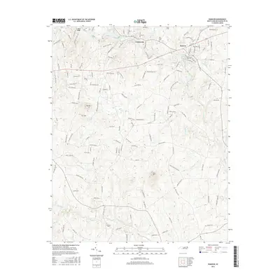
2016 Map of Ramseur
USGS Topo · Published 2016About this map
Deep River flows through the heart of this Randolph County landscape, anchoring the industrial and community identities of Ramseur, Franklinville, and Cedar Falls. The river's historical importance to local milling is reflected in features like Randolph Mill Lake, which sits just west of the Franklinville town center. To the south, the topography rises sharply at Pilot Mtn, a prominent landmark that breaks the surrounding woodland and small-scale agriculture.
Find a feature on this map
140 named features on this map. Tap any name to fly to it.
Don’t see what you’re looking for? This feature index may not catch every label — zoom into the map to look around manually.
Map Details
Editions of this 2016 Ramseur Map
This is the sole edition of this map. No revisions or reprints were ever made.
Other maps of this area

1953 · Raleigh
USGS Topo · 1:250,000

1954 · Raleigh
USGS Topo · 1:250,000

1957 · Asheboro
USGS Topo · 1:62,500

1968 · Ramseur
USGS Topo · 1:24,000

1968 · Coleridge
USGS Topo · 1:24,000

1968 · Erect
USGS Topo · 1:24,000

1968 · Bennett
USGS Topo · 1:24,000

1970 · Randleman
USGS Topo · 1:24,000

1970 · Asheboro
USGS Topo · 1:24,000

1973 · Seagrove
USGS Topo · 1:24,000