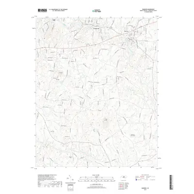
2019 Map of Ramseur
USGS Topo · Published 2019About this map
The Deep River winds through the heart of this Randolph County landscape, connecting the established communities of Ramseur, Franklinville, and Cedar Falls. This 2019 survey captures a region defined by its narrow valley topography and upland ridges, including Pilot Mtn and the twin peaks of Iron Mtn and Mountain Oak. The presence of small aviation facilities like the Dakota Air Ranch Airport and Smith Air Strip reflects the modern land use in this largely rural corridor. Genealogists and local historians can locate established burial grounds such as Old Salem Cem and Sunset Knolls Cem, while the road network, including the evocative Faith Rock Rd, illustrates the continued development around the historical river settlements.
Find a feature on this map
146 named features on this map. Tap any name to fly to it.
Don’t see what you’re looking for? This feature index may not catch every label — zoom into the map to look around manually.
Map Details
Editions of this 2019 Ramseur Map
This is the sole edition of this map. No revisions or reprints were ever made.
Other maps of this area

1953 · Raleigh
USGS Topo · 1:250,000

1954 · Raleigh
USGS Topo · 1:250,000

1957 · Asheboro
USGS Topo · 1:62,500

1968 · Ramseur
USGS Topo · 1:24,000

1968 · Coleridge
USGS Topo · 1:24,000

1968 · Erect
USGS Topo · 1:24,000

1968 · Bennett
USGS Topo · 1:24,000

1970 · Randleman
USGS Topo · 1:24,000

1970 · Asheboro
USGS Topo · 1:24,000

1973 · Seagrove
USGS Topo · 1:24,000