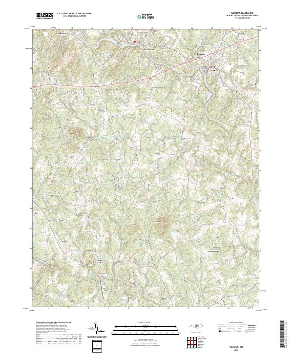
2022 Map of Ramseur
USGS Topo · Published 2022About this map
Deep River winds through the heart of this Randolph County landscape, connecting the historic textile and mill towns of Cedar Falls, Franklinville, and Ramseur. The waterway's path is flanked by significant local landmarks, including the heights of Iron Mountain and Pilot Mtn, which define the horizon between the river valley and the surrounding timbered ridges. This modern survey illustrates the persistent settlement patterns of the region, where older residential cores are linked by a network of established routes like Old Cedar Falls Rd and Pleasant Cross Rd.
Find a feature on this map
142 named features on this map. Tap any name to fly to it.
Don’t see what you’re looking for? This feature index may not catch every label — zoom into the map to look around manually.
Map Details
Editions of this 2022 Ramseur Map
This is the sole edition of this map. No revisions or reprints were ever made.
Other maps of this area

1953 · Raleigh
USGS Topo · 1:250,000

1954 · Raleigh
USGS Topo · 1:250,000

1957 · Asheboro
USGS Topo · 1:62,500

1968 · Ramseur
USGS Topo · 1:24,000

1968 · Coleridge
USGS Topo · 1:24,000

1968 · Erect
USGS Topo · 1:24,000

1968 · Bennett
USGS Topo · 1:24,000

1970 · Randleman
USGS Topo · 1:24,000

1970 · Asheboro
USGS Topo · 1:24,000

1973 · Seagrove
USGS Topo · 1:24,000