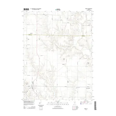
2015 Map of Ramsey
USGS Topo · Published 2015About this map
Ramsey serves as the primary hub in this portion of Fayette County, where the local road network converges near Saint Josephs Cem and Hayes Cem. The landscape is defined by the drainage patterns of Ramsey Cr and Ash Cr, with the terrain rising toward landmarks like Bridges Knob and Bowling Green Hill. Small rural settlements such as Dressor and Hanson are interspersed with numerous family and community burial grounds, including Clark Cem and Cothern Family Cem. The northern portion of the map is bisected by the Shelby Co and Fayette Co border, illustrating how political boundaries and early land grants influenced the grid of local routes like Herrick Rd and Ramsey Lake Rd.
Find a feature on this map
50 named features on this map. Tap any name to fly to it.
Don’t see what you’re looking for? This feature index may not catch every label — zoom into the map to look around manually.
Map Details
Editions of this 2015 Ramsey Map
This is the sole edition of this map. No revisions or reprints were ever made.
Other maps of this area

1941 · St. Elmo
USGS Topo · 1:62,500

1942 · Shelbyville
USGS Topo · 1:62,500

1944 · Ramsey
USGS Topo · 1:62,500

1945 · St. Elmo
USGS Topo · 1:62,500

1946 · Shelbyville
USGS Topo · 1:62,500

1946 · Ramsey
USGS Topo · 1:62,500

1947 · Pana
USGS Topo · 1:62,500

1949 · Pana
USGS Topo · 1:62,500

1958 · Decatur
USGS Topo · 1:250,000

1961 · Decatur
USGS Topo · 1:250,000