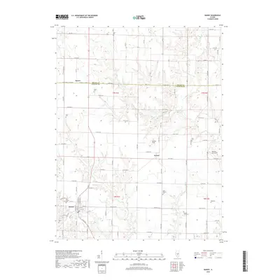
2018 Map of Ramsey
USGS Topo · Published 2018About this map
The village of Ramsey serves as the primary hub in this portion of northern Fayette County, where the street grid transitions into a vast network of section roads. The landscape is defined by the drainage of several waterways, including Ramsey Cr and Becks Cr, which carve through the terrain near the small settlements of Dressor and Hanson. This area on the border of Shelby County shows a high density of family and community burial grounds, such as Clark Cem, Shedd Cem, and Cothern Family Cem, which are essential markers for genealogical research in this rural Illinois corridor. Higher elevations are noted at Bridges Knob and Bowling Green Hill, providing a topographic contrast to the creek bottoms. The map detail highlights the local road system, including Co HWY 27 and various county routes that have connected these agricultural communities for generations.
Find a feature on this map
60 named features on this map. Tap any name to fly to it.
Don’t see what you’re looking for? This feature index may not catch every label — zoom into the map to look around manually.
Map Details
Editions of this 2018 Ramsey Map
This is the sole edition of this map. No revisions or reprints were ever made.
Other maps of this area

1941 · St. Elmo
USGS Topo · 1:62,500

1942 · Shelbyville
USGS Topo · 1:62,500

1944 · Ramsey
USGS Topo · 1:62,500

1945 · St. Elmo
USGS Topo · 1:62,500

1946 · Shelbyville
USGS Topo · 1:62,500

1946 · Ramsey
USGS Topo · 1:62,500

1947 · Pana
USGS Topo · 1:62,500

1949 · Pana
USGS Topo · 1:62,500

1958 · Decatur
USGS Topo · 1:250,000

1961 · Decatur
USGS Topo · 1:250,000