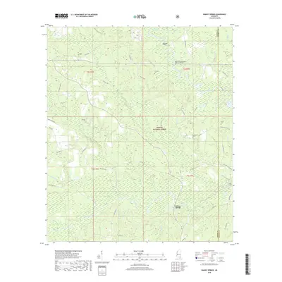
2018 Map of Ramsey Springs
USGS Topo · Published 2018About this map
De Soto National Forest dominates this section of the Mississippi piney woods, where a complex network of waterways like Black Creek and Red Creek define the landscape. The map centers on the small community of Ramsey Springs, a locale long known for its mineral waters. The terrain is crisscrossed by numerous small tributaries including Bluff Cr, Cypress Cr, and Little Cr, illustrating the dense drainage patterns typical of the Gulf Coastal Plain.
Find a feature on this map
51 named features on this map. Tap any name to fly to it.
Don’t see what you’re looking for? This feature index may not catch every label — zoom into the map to look around manually.
Map Details
Editions of this 2018 Ramsey Springs Map
This is the sole edition of this map. No revisions or reprints were ever made.
Other maps of this area

1947 · Wiggins
USGS Topo · 1:62,500

1947 · Benndale
USGS Topo · 1:62,500

1949 · Wiggins
USGS Topo · 1:62,500

1949 · Benndale
USGS Topo · 1:62,500

1953 · Mobile
USGS Topo · 1:250,000

1954 · Vestry
USGS Topo · 1:62,500

1954 · McHenry
USGS Topo · 1:62,500

1957 · Mobile
USGS Topo · 1:250,000

1960 · Mobile
USGS Topo · 1:250,000

1963 · Mobile
USGS Topo · 1:250,000