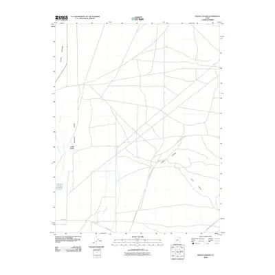
2010 Map of Ranch Canyon
USGS Topo · Published 2010About this map
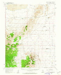
Yellow Banks stands on the eastern edge of the Escalante Desert, a region defined by its wide, arid expanses and the winding course of the Beaver River. This 2010 survey illustrates the sophisticated irrigation efforts necessary to support life and agriculture in this corner of Beaver County, clearly tracing the north-south paths of the High Line Canal and the Low Line Canal. These water systems cut across the desert floor toward the Beaver Bottoms, providing a stark contrast to the natural drainage patterns found in the eastern hills. To the east, the terrain rises into the dissected topography of Ranch Canyon and Corral Canyon, where access is limited to a network of unimproved routes like Lower Ranch Canyon Rd and The Pass Rd.
Find a feature on this map
11 named features on this map. Tap any name to fly to it.
Don’t see what you’re looking for? This feature index may not catch every label — zoom into the map to look around manually.
Map Details
Editions of this 2010 Ranch Canyon Map
This is the sole edition of this map. No revisions or reprints were ever made.
Other maps of this area
1885 · Beaver
USGS Topo · 1:250,000
1953 · Milford Flat
USGS Topo · 1:24,000
1953 · Cave Canyon
USGS Topo · 1:24,000

1953 · Richfield
USGS Topo · 1:250,000

1958 · Richfield
USGS Topo · 1:250,000
1958 · Milford
USGS Topo · 1:62,500
1958 · Milford
USGS Topo · 1:24,000
1958 · Adamsville
USGS Topo · 1:62,500
1958 · Ranch Canyon
USGS Topo · 1:24,000
1960 · Beaver Lake Mts.
USGS Topo · 1:62,500