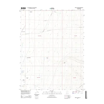
2014 Map of Ranch Canyon
USGS Topo · Published 2014About this map
Escalante Desert terrain meets industrial development on this 2014 survey of Beaver County. Modern energy infrastructure is a defining characteristic of the landscape, marked by Wind Farm Rd, First Wind Rd, and Geothermal Plant Rd, reflecting the region's 21st-century economic shifts. The northern reaches of Milford are visible in the southwest, while the historic agricultural reliance on the Beaver River is evidenced by the extensive irrigation network including the High Line Canal and Low Line Canal. The map transitions from the flat desert floor near Beaver Bottoms and Yellow Banks into the rising elevations of the eastern foothills where Ranch Canyon and Corral Canyon are located. This document provides a clear record of the intersection between traditional water management and contemporary renewable energy projects in the Great Basin.
Find a feature on this map
24 named features on this map. Tap any name to fly to it.
Don’t see what you’re looking for? This feature index may not catch every label — zoom into the map to look around manually.
Map Details
Editions of this 2014 Ranch Canyon Map
This is the sole edition of this map. No revisions or reprints were ever made.
Other maps of this area

1885 · Beaver
USGS Topo · 1:250,000

1953 · Milford Flat
USGS Topo · 1:24,000

1953 · Cave Canyon
USGS Topo · 1:24,000

1953 · Richfield
USGS Topo · 1:250,000

1958 · Richfield
USGS Topo · 1:250,000

1958 · Milford
USGS Topo · 1:62,500

1958 · Milford
USGS Topo · 1:24,000

1958 · Adamsville
USGS Topo · 1:62,500

1958 · Ranch Canyon
USGS Topo · 1:24,000

1960 · Beaver Lake Mts.
USGS Topo · 1:62,500