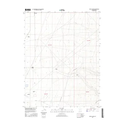
2017 Map of Ranch Canyon
USGS Topo · Published 2017About this map
Escalante Desert terrain meets the irrigated agricultural margins of Beaver County in this contemporary topographic survey. The landscape is defined by the transition from the arid flats of the Beaver Bottoms and Yellow Banks to the rising elevations of Ranch Canyon and Corral Canyon in the east. Water management is central to the area's geography, evidenced by the Low Line Canal and High Line Canal which parallel the southern reach of the Beaver River. While the main settlement of Milford sits at the southwestern edge, the map also identifies Murdock to the north. Transportation across this sparsely populated region relies on established routes like Lower Ranch Canyon Rd, Upper Ranch Canyon Rd, and The Pass Rd, which provide access through the complex canyon topography and desert basins.
Find a feature on this map
17 named features on this map. Tap any name to fly to it.
Don’t see what you’re looking for? This feature index may not catch every label — zoom into the map to look around manually.
Map Details
Editions of this 2017 Ranch Canyon Map
This is the sole edition of this map. No revisions or reprints were ever made.
Other maps of this area

1885 · Beaver
USGS Topo · 1:250,000

1953 · Milford Flat
USGS Topo · 1:24,000

1953 · Cave Canyon
USGS Topo · 1:24,000

1953 · Richfield
USGS Topo · 1:250,000

1958 · Richfield
USGS Topo · 1:250,000

1958 · Milford
USGS Topo · 1:62,500

1958 · Milford
USGS Topo · 1:24,000

1958 · Adamsville
USGS Topo · 1:62,500

1958 · Ranch Canyon
USGS Topo · 1:24,000

1960 · Beaver Lake Mts.
USGS Topo · 1:62,500