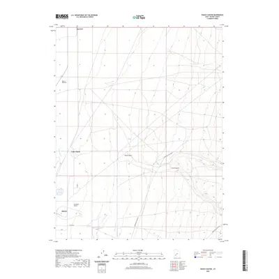
2020 Map of Ranch Canyon
USGS Topo · Published 2020About this map
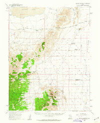
The Escalante Desert floor meets the rising slopes of the Mineral Mountains in this Beaver County topographic survey. The settlement of Milford occupies the southwest corner, situated at a vital intersection of rail and road where the desert floor gives way to agricultural irrigation. The Beaver River and its associated Beaver Bottoms wetlands track northward, supported by a network of water management including the Low-Line Canal and High-Line Canal. To the north, the small siding of Murdock stands along the transport corridor.
Find a feature on this map
15 named features on this map. Tap any name to fly to it.
Don’t see what you’re looking for? This feature index may not catch every label — zoom into the map to look around manually.
Map Details
Editions of this 2020 Ranch Canyon Map
This is the sole edition of this map. No revisions or reprints were ever made.
Other maps of this area
1885 · Beaver
USGS Topo · 1:250,000
1953 · Milford Flat
USGS Topo · 1:24,000
1953 · Cave Canyon
USGS Topo · 1:24,000

1953 · Richfield
USGS Topo · 1:250,000

1958 · Richfield
USGS Topo · 1:250,000
1958 · Milford
USGS Topo · 1:62,500
1958 · Milford
USGS Topo · 1:24,000
1958 · Adamsville
USGS Topo · 1:62,500
1958 · Ranch Canyon
USGS Topo · 1:24,000
1960 · Beaver Lake Mts.
USGS Topo · 1:62,500