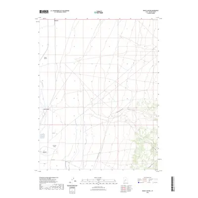
2023 Map of Ranch Canyon
USGS Topo · Published 2023About this map
The Beaver River winds through the western edge of this landscape, defining the transition between the agricultural potential of the valley and the arid expanse of the Escalante Desert. This contemporary survey shows a highly managed water system, dominated by the High Line Canal and Low Line Canal, which facilitate irrigation across the flats south of Beaver Bottoms. These canals represent the vital engineering required to sustain life and industry in the arid Basin and Range province.
Find a feature on this map
15 named features on this map. Tap any name to fly to it.
Don’t see what you’re looking for? This feature index may not catch every label — zoom into the map to look around manually.
Map Details
Editions of this 2023 Ranch Canyon Map
This is the sole edition of this map. No revisions or reprints were ever made.
Other maps of this area

1885 · Beaver
USGS Topo · 1:250,000

1953 · Milford Flat
USGS Topo · 1:24,000

1953 · Cave Canyon
USGS Topo · 1:24,000

1953 · Richfield
USGS Topo · 1:250,000

1958 · Richfield
USGS Topo · 1:250,000

1958 · Milford
USGS Topo · 1:62,500

1958 · Milford
USGS Topo · 1:24,000

1958 · Adamsville
USGS Topo · 1:62,500

1958 · Ranch Canyon
USGS Topo · 1:24,000

1960 · Beaver Lake Mts.
USGS Topo · 1:62,500