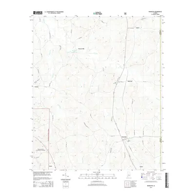
2014 Map of Randolph
USGS Topo · Published 2014About this map
Randolph serves as a central hub in this Southern landscape, situated at the junction of several rural routes including Al-139 and CR-36. The geography is defined by a dense network of tributaries like Sixmile Cr, Copperas Cr, and Oakmulgee Cr, which carved the terrain long before the establishment of settlements like Thomas Mill and Bibb Mill. These place names suggest a local history tied to water-powered industry and early timber processing.
Find a feature on this map
52 named features on this map. Tap any name to fly to it.
Don’t see what you’re looking for? This feature index may not catch every label — zoom into the map to look around manually.
Map Details
Editions of this 2014 Randolph Map
This is the sole edition of this map. No revisions or reprints were ever made.
Other maps of this area

1890 · Bessemer
USGS Topo · 1:125,000

1891 · Clanton
USGS Topo · 1:125,000

1892 · Bessemer
USGS Topo · 1:125,000

1899 · Brookwood
USGS Topo · 1:125,000

1910 · Montevallo
USGS Topo · 1:62,500

1934 · Blocton
USGS Topo · 1:48,000

1940 · Blocton
USGS Topo · 1:62,500

1953 · Montgomery
USGS Topo · 1:250,000

1953 · Birmingham
USGS Topo · 1:250,000

1956 · Birmingham
USGS Topo · 1:250,000