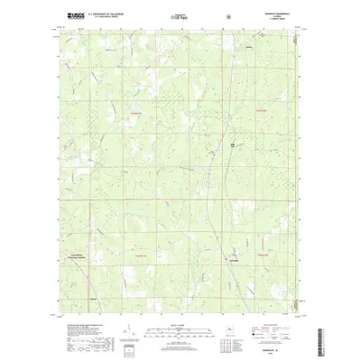
2018 Map of Randolph
USGS Topo · Published 2018About this map
Randolph serves as a primary settlement point in this section of central Alabama, situated near the boundary between Bibb and Chilton counties. The landscape is defined by the headwaters and tributaries of several prominent drainage systems, including Sixmile Cr, Copperas Cr, and Oakmulgee Cr. The area’s rural character is underscored by numerous cemeteries such as New Prospect Cem and Antioch Cem, which often mark the sites of early community gathering points. To the west, the protected lands of the Talladega National Forest begin to dominate the terrain.
Find a feature on this map
55 named features on this map. Tap any name to fly to it.
Don’t see what you’re looking for? This feature index may not catch every label — zoom into the map to look around manually.
Map Details
Editions of this 2018 Randolph Map
This is the sole edition of this map. No revisions or reprints were ever made.
Other maps of this area

1890 · Bessemer
USGS Topo · 1:125,000

1891 · Clanton
USGS Topo · 1:125,000

1892 · Bessemer
USGS Topo · 1:125,000

1899 · Brookwood
USGS Topo · 1:125,000

1910 · Montevallo
USGS Topo · 1:62,500

1934 · Blocton
USGS Topo · 1:48,000

1940 · Blocton
USGS Topo · 1:62,500

1953 · Montgomery
USGS Topo · 1:250,000

1953 · Birmingham
USGS Topo · 1:250,000

1956 · Birmingham
USGS Topo · 1:250,000