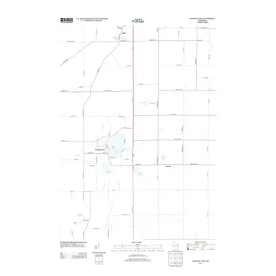
2013 Map of Random Lake
USGS Topo · Published 2013About this map
Random Lake and its surrounding glacial terrain define this portion of Sheboygan County, where established village life meets a network of rural county highways. In the northern reaches, the village of Adell is situated along the intersection of Wisconsin St and Edgewood Ave, while the smaller settlement of Dacada lies to the southeast near the Ozaukee County line. The landscape is dotted with distinct water bodies including Spring Lake, Ludovissi Lake, and Grasser Lake, alongside the meandering courses of Silver Cr and Gooseville Cr. This 2013 survey reflects a stable agricultural and recreational corridor, notably featuring Camp J C C in the southwest. A grid of named country roads, such as Indian Mound Rd and Hingham Mill Rd, provides a detailed record of the local transportation network serving these lakeside communities.
Find a feature on this map
69 named features on this map. Tap any name to fly to it.
Don’t see what you’re looking for? This feature index may not catch every label — zoom into the map to look around manually.
Map Details
Editions of this 2013 Random Lake Map
This is the sole edition of this map. No revisions or reprints were ever made.
Other maps of this area

1892 · Port Washington
USGS Topo · 1:62,500

1904 · West Bend
USGS Topo · 1:62,500

1904 · Port Washington
USGS Topo · 1:62,500

1954 · Sheboygan Falls
USGS Topo · 1:62,500

1954 · Sheboygan Falls
USGS Topo · 1:24,000

1954 · Milwaukee
USGS Topo · 1:250,000

1955 · Kewaskum
USGS Topo · 1:62,500

1957 · Madison
USGS Topo · 1:250,000

1958 · Milwaukee
USGS Topo · 1:250,000
1958 · Port Washington East
USGS Topo · 1:24,000