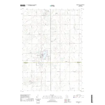
2018 Map of Random Lake
USGS Topo · Published 2018About this map
The village of Random Lake and its eponymous water body anchor this southern Sheboygan County landscape, where the town layout is defined by streets like Grand Ave and Western Ave. To the north, the settlement of Adell sits near Mud Swamp, while the small community of Dacada straddles the southern border with Ozaukee County. The area's cultural history is marked by numerous rural burying grounds, including Saint Marys Cem and Saint Paul Cem, reflecting the early parish-centered development of these Wisconsin townships.
Find a feature on this map
76 named features on this map. Tap any name to fly to it.
Don’t see what you’re looking for? This feature index may not catch every label — zoom into the map to look around manually.
Map Details
Editions of this 2018 Random Lake Map
This is the sole edition of this map. No revisions or reprints were ever made.
Other maps of this area

1892 · Port Washington
USGS Topo · 1:62,500

1904 · West Bend
USGS Topo · 1:62,500

1904 · Port Washington
USGS Topo · 1:62,500

1954 · Sheboygan Falls
USGS Topo · 1:62,500

1954 · Sheboygan Falls
USGS Topo · 1:24,000

1954 · Milwaukee
USGS Topo · 1:250,000

1955 · Kewaskum
USGS Topo · 1:62,500

1957 · Madison
USGS Topo · 1:250,000

1958 · Milwaukee
USGS Topo · 1:250,000
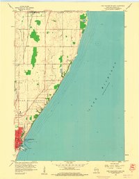
1958 · Port Washington East
USGS Topo · 1:24,000