Loading...
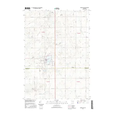
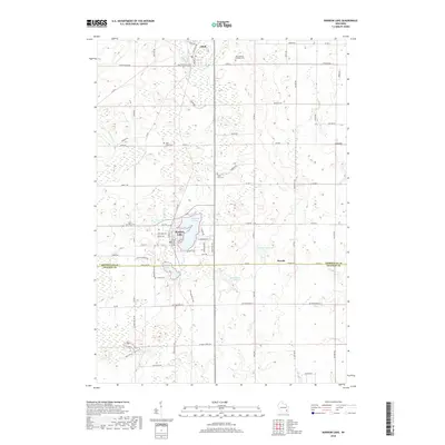
Loading map...2022 Map of Random Lake
USGS Topo · Published 2022About this map
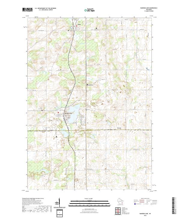
Adell and the village of Random Lake anchor this modern landscape where the glaciated terrain of Sheboygan and Ozaukee Counties transitions into complex wetlands. The northern reaches are dominated by the Adell Swamp, while the southern portion of the sheet is defined by a series of named water bodies including Spring Lake, Grasser Lake, and Ludowissi Lake.
Find a feature on this map
84 named features on this map. Tap any name to fly to it.
Don’t see what you’re looking for? This feature index may not catch every label — zoom into the map to look around manually.
Map Details
Date Portrayed2022
Date Published2022
PublisherU.S. Geological Survey
Map TypeTopographic
Scale1:24,000
Physical Dimensions24 x 29 inches
Editions of this 2022 Random Lake Map
This is the sole edition of this map. No revisions or reprints were ever made.
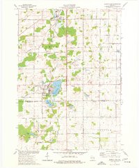
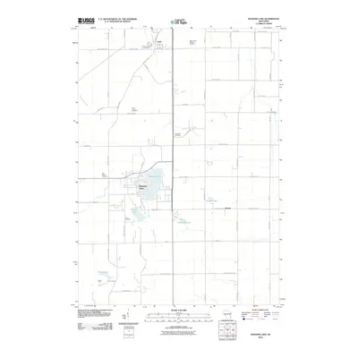
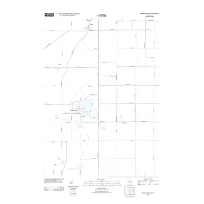
Historical Maps of Random Lake Through Time
6 maps found
Featured Locations
Source Details
SourceU.S. Geological Survey
CopyrightPublic Domain