
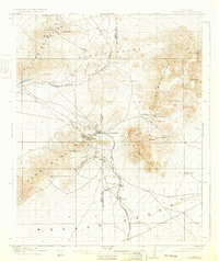
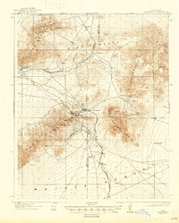
1912 Map of Randsburg
USGS Topo · Published 1912About this map
Yellow Aster Mine serves as the industrial anchor of this desert landscape, situated high in the Rand Mountains above the mining camps. The survey captures a period of intense activity in the Stringer District, where the local economy was driven by the extraction of gold and tungsten. The twin settlements of Randsburg and Johannesburg are shown in detail, connected by the Randsburg Branch of the Santa Fe railroad as it terminates in this arid mineral belt.
Find a feature on this map
39 named features on this map. Tap any name to fly to it.
Don’t see what you’re looking for? This feature index may not catch every label — zoom into the map to look around manually.
Map Details
Editions of this 1912 Randsburg Map
3 editions found
Other maps of this area

1903 · Randsburg
USGS Topo · 1:62,500

1911 · Randsburg
USGS Topo · 1:62,500

1915 · Searles Lake
USGS Topo · 1:250,000

1943 · Inyokern
USGS Topo · 1:62,500

1943 · Saltdale
USGS Topo · 1:62,500

1943 · Castle Butte
USGS Topo · 1:62,500

1947 · Castle Butte
USGS Topo · 1:50,000

1947 · Trona
USGS Topo · 1:250,000

1948 · Trona
USGS Topo · 1:250,000

1949 · Searles Lake
USGS Topo · 1:62,500