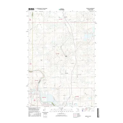
2017 Map of Randville
USGS Topo · Published 2017About this map
The Menominee River serves as the primary geographical divider between Wisconsin and Michigan in this 2017 survey of the borderlands. The landscape is dominated by complex aquatic systems, most notably the Twin Falls Flowage and the Spread Eagle Chain of Lakes, reflecting the region's hydro-connected character. Small settlements such as Randville, Granite Bluff, and Merriman are situated along north-south transportation corridors, flanked by smaller water bodies like Spirit Lake and Browning Lake.
Find a feature on this map
75 named features on this map. Tap any name to fly to it.
Don’t see what you’re looking for? This feature index may not catch every label — zoom into the map to look around manually.
Map Details
Editions of this 2017 Randville Map
This is the sole edition of this map. No revisions or reprints were ever made.
Other maps of this area

1899 · Sagola
USGS Topo · 1:62,500

1939 · Iron Mountain
USGS Topo · 1:48,000

1941 · Iron Mountain
USGS Topo · 1:48,000

1947 · Iron Mountain
USGS Topo · 1:48,000

1947 · Lake Mary
USGS Topo · 1:24,000
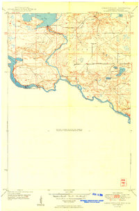
1949 · Commonwealth
USGS Topo · 1:24,000

1954 · Iron Mountain
USGS Topo · 1:250,000

1954 · Escanaba
USGS Topo · 1:250,000

1955 · Norway
USGS Topo · 1:24,000

1955 · Norway
USGS Topo · 1:62,500