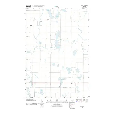
2010 Map of Range
USGS Topo · Published 2010About this map
The Apple River meanders through this Polk County landscape, connecting a dense network of glacial lakes including Big Blake Lake, White Ash Lake, and the smaller Beautiful Lake. The settlement of Range sits at the intersection of local routes, while the community of Bunyan serves as a northern landmark. This 2010 survey reflects a rural environment where land use is dictated by the hydrography, seen in the placement of Ridler Dam and the various creeks feeding the river system.
Find a feature on this map
46 named features on this map. Tap any name to fly to it.
Don’t see what you’re looking for? This feature index may not catch every label — zoom into the map to look around manually.
Map Details
Editions of this 2010 Range Map
This is the sole edition of this map. No revisions or reprints were ever made.
Other maps of this area

1950 · Balsam Lake
USGS Topo · 1:62,500

1950 · Turtle Lake
USGS Topo · 1:62,500

1951 · Cumberland
USGS Topo · 1:48,000

1951 · Frederic
USGS Topo · 1:48,000

1952 · Turtle Lake
USGS Topo · 1:62,500

1953 · Stillwater
USGS Topo · 1:250,000

1955 · Frederic
USGS Topo · 1:62,500

1955 · Stillwater
USGS Topo · 1:250,000

1956 · Cumberland
USGS Topo · 1:62,500

1958 · Stillwater
USGS Topo · 1:250,000