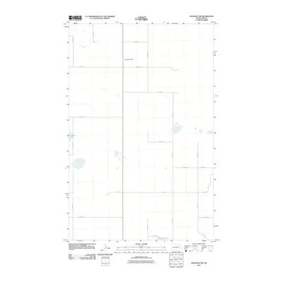
2011 Map of Rangeley NW
USGS Topo · Published 2011About this map
Copperdahl Hill rises as a prominent landmark in this prairie landscape of McHenry County, where the late-twentieth-century section line road system is firmly established. The topography is defined by the glacial depressions and intermittent water bodies characteristic of the region, including Heffner Lake in the west and Lauinger Lake near the southern boundary. This map captures the orderly rural grid of North Dakota at the beginning of the second decade of the 21st century, showing how 4th Ave NE, 7th Ave NE, and numerous numbered streets provide access to the surrounding agricultural tracts.
Find a feature on this map
17 named features on this map. Tap any name to fly to it.
Don’t see what you’re looking for? This feature index may not catch every label — zoom into the map to look around manually.
Map Details
Editions of this 2011 Rangeley NW Map
This is the sole edition of this map. No revisions or reprints were ever made.
Other maps of this area

1949 · Denbigh
USGS Topo · 1:24,000

1950 · Karlsruhe NE
USGS Topo · 1:24,000

1950 · Towner
USGS Topo · 1:24,000

1950 · Denbigh
USGS Topo · 1:24,000

1954 · Towner SE
USGS Topo · 1:24,000

1954 · Minot
USGS Topo · 1:250,000

1955 · Rangeley NW
USGS Topo · 1:24,000

1955 · Rangeley NE
USGS Topo · 1:24,000

1957 · Karlsruhe
USGS Topo · 1:24,000

1957 · Rangeley SE
USGS Topo · 1:24,000