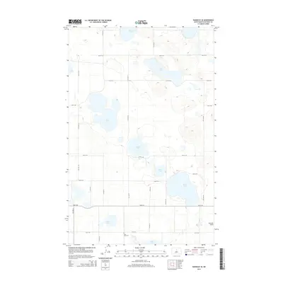
2014 Map of Rangeley SE
USGS Topo · Published 2014About this map
Saint Johns Cem sits near the southern boundary of this North Dakota landscape, providing a primary point of reference for family historians in McHenry County. The region is defined by a dense concentration of prairie potholes and larger water bodies, including Duckshire Lake, Lake Lemer, and the prominent Round Lake. These natural depressions are characteristic of the glaciated plains, where the drainage pattern is largely dictated by these individual basins rather than a continuous river system.
Find a feature on this map
26 named features on this map. Tap any name to fly to it.
Don’t see what you’re looking for? This feature index may not catch every label — zoom into the map to look around manually.
Map Details
Editions of this 2014 Rangeley SE Map
This is the sole edition of this map. No revisions or reprints were ever made.
Other maps of this area

1930 · Drake
USGS Topo · 1:62,500

1940 · Aylmer
USGS Topo · 1:62,500

1954 · Minot
USGS Topo · 1:250,000

1954 · McClusky
USGS Topo · 1:250,000

1955 · Rangeley NW
USGS Topo · 1:24,000

1955 · Rangeley NE
USGS Topo · 1:24,000

1957 · Rangeley SE
USGS Topo · 1:24,000

1957 · Rangeley
USGS Topo · 1:24,000

1958 · McClusky
USGS Topo · 1:250,000

1958 · Minot
USGS Topo · 1:250,000