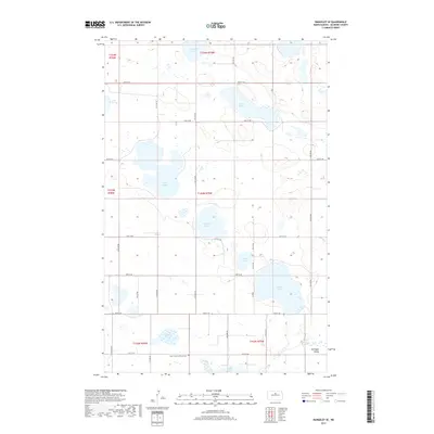
2017 Map of Rangeley SE
USGS Topo · Published 2017About this map
Glacial prairie potholes and seasonal wetlands define the topography of this McHenry County landscape. The area is characterized by a high density of named water bodies, including Duckshire Lake, Bromley Lake, and Lake Lemer, which are interspersed among the surveyed section lines of the North Dakota prairie. These wetlands are vital components of the local hydrology, often fluctuating in size and connectivity depending on the season and year.
Find a feature on this map
34 named features on this map. Tap any name to fly to it.
Don’t see what you’re looking for? This feature index may not catch every label — zoom into the map to look around manually.
Map Details
Editions of this 2017 Rangeley SE Map
This is the sole edition of this map. No revisions or reprints were ever made.
Other maps of this area

1930 · Drake
USGS Topo · 1:62,500

1940 · Aylmer
USGS Topo · 1:62,500

1954 · Minot
USGS Topo · 1:250,000

1954 · McClusky
USGS Topo · 1:250,000

1955 · Rangeley NW
USGS Topo · 1:24,000

1955 · Rangeley NE
USGS Topo · 1:24,000

1957 · Rangeley SE
USGS Topo · 1:24,000

1957 · Rangeley
USGS Topo · 1:24,000

1958 · McClusky
USGS Topo · 1:250,000

1958 · Minot
USGS Topo · 1:250,000