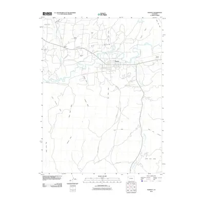
2010 Map of Rangely
USGS Topo · Published 2010About this map
Rangely serves as the focal point for this industrial and high-desert landscape, where the town’s development is inextricably linked to the Rangely Oil Field. The White River carves a path through the northern half of the quadrangle, flanked by numerous resource extraction camps such as Sharples Camp, Levison Camp, and Wasatch Camp. These settlements, along with California Camp in the northwest, illustrate the footprint of energy production within the expansive Coal Oil Basin. South of the river, the terrain transitions into a complex system of dry washes and canyons, including Sulphur Draw, Johnson Draw, and Red Hill Canyon. This network of drainage channels, along with the Chase Draw Reservoir, highlights the critical role of water management in an area dominated by arid topography and the Coal Oil Rim outcrops.
Find a feature on this map
44 named features on this map. Tap any name to fly to it.
Don’t see what you’re looking for? This feature index may not catch every label — zoom into the map to look around manually.
Map Details
Editions of this 2010 Rangely Map
This is the sole edition of this map. No revisions or reprints were ever made.
Other maps of this area

1907 · Rangely
USGS Topo · 1:125,000

1910 · Rangely
USGS Topo · 1:125,000

1954 · Vernal
USGS Topo · 1:250,000

1956 · Grand Junction
USGS Topo · 1:250,000

1958 · Vernal
USGS Topo · 1:250,000

1959 · Grand Junction
USGS Topo · 1:250,000

1960 · Vernal
USGS Topo · 1:250,000

1960 · Grand Junction
USGS Topo · 1:250,000

1962 · Grand Junction
USGS Topo · 1:250,000

1962 · Rangely NE
USGS Topo · 1:24,000