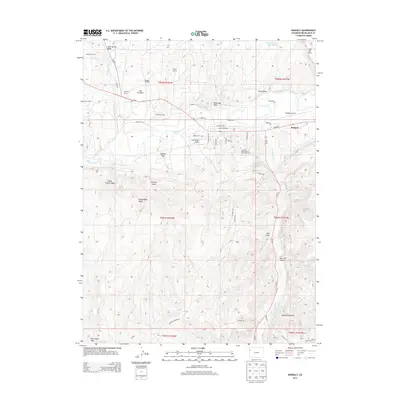
2013 Map of Rangely
USGS Topo · Published 2013About this map
Rangely Oil Field dominates the high desert terrain of this northwest Colorado region, where industrial activity and resource extraction define the landscape's modern character. Numerous production camps such as California Camp, Texas Camp, and Wasatch Camp are scattered across the basins, reflecting the localized workforce hubs essential to the oil and gas industry in Rio Blanco County. The town of Rangely serves as the regional center, situated along the White River and supporting the Colorado Northwestern Community Coll campus and the Rangely Airport.
Find a feature on this map
60 named features on this map. Tap any name to fly to it.
Don’t see what you’re looking for? This feature index may not catch every label — zoom into the map to look around manually.
Map Details
Editions of this 2013 Rangely Map
This is the sole edition of this map. No revisions or reprints were ever made.
Other maps of this area

1907 · Rangely
USGS Topo · 1:125,000

1910 · Rangely
USGS Topo · 1:125,000

1954 · Vernal
USGS Topo · 1:250,000

1956 · Grand Junction
USGS Topo · 1:250,000

1958 · Vernal
USGS Topo · 1:250,000

1959 · Grand Junction
USGS Topo · 1:250,000

1960 · Vernal
USGS Topo · 1:250,000

1960 · Grand Junction
USGS Topo · 1:250,000

1962 · Grand Junction
USGS Topo · 1:250,000

1962 · Rangely NE
USGS Topo · 1:24,000