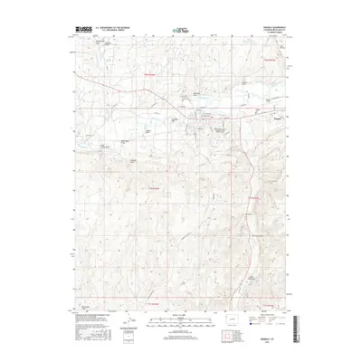
2016 Map of Rangely
USGS Topo · Published 2016About this map
Rangely occupies the valley floor of the White River in this modern-era documentation of Rio Blanco County. The town layout is characterized by a central grid north of the river, anchored by Colorado Northwestern Community Coll Rangely Campus and the Rangely Cem. To the east, the Rangely Airport sits near the junction of Douglas Cr and the river, marking a significant infrastructure point for this high-desert community.
Find a feature on this map
62 named features on this map. Tap any name to fly to it.
Don’t see what you’re looking for? This feature index may not catch every label — zoom into the map to look around manually.
Map Details
Editions of this 2016 Rangely Map
This is the sole edition of this map. No revisions or reprints were ever made.
Other maps of this area

1907 · Rangely
USGS Topo · 1:125,000

1910 · Rangely
USGS Topo · 1:125,000

1954 · Vernal
USGS Topo · 1:250,000

1956 · Grand Junction
USGS Topo · 1:250,000

1958 · Vernal
USGS Topo · 1:250,000

1959 · Grand Junction
USGS Topo · 1:250,000

1960 · Vernal
USGS Topo · 1:250,000

1960 · Grand Junction
USGS Topo · 1:250,000

1962 · Grand Junction
USGS Topo · 1:250,000

1962 · Rangely NE
USGS Topo · 1:24,000