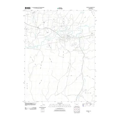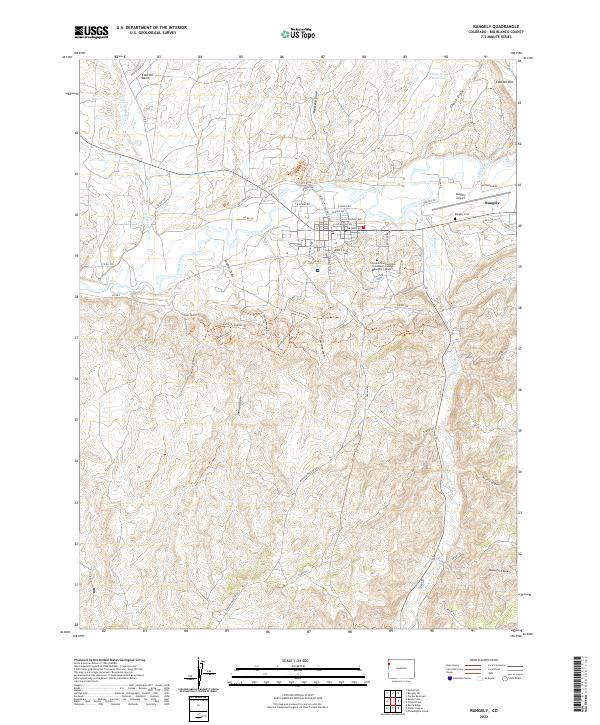
2022 Map of Rangely
USGS Topo · Published 2022About this map
The town of Rangely serves as the central hub of this northwestern Colorado landscape, situated along the banks of the White River. The town's modern infrastructure is well-documented, including the Colorado Northwestern Community College-Rangely Campus and the Rangely Airport. Beyond the residential streets of Denver Ave and E Main St, the map reveals a rugged terrain defined by significant drainage systems such as Douglas Creek and the curiously named Stinking Water Creek. The geography here is marked by extensive draws and basins, notably the Coal Oil Basin and Coal Oil Rim to the north, and Coal Mine Draw to the south. These names reflect the region's long-standing connection to natural resource extraction. Researchers can trace the network of rural roads, including Rangely Dragon Road, that navigate the complex topography between the White River valley and the high southern plateaus.
Find a feature on this map
62 named features on this map. Tap any name to fly to it.
Don’t see what you’re looking for? This feature index may not catch every label — zoom into the map to look around manually.
Map Details
Editions of this 2022 Rangely Map
This is the sole edition of this map. No revisions or reprints were ever made.
Historical Maps of Rangely Through Time
9 maps found