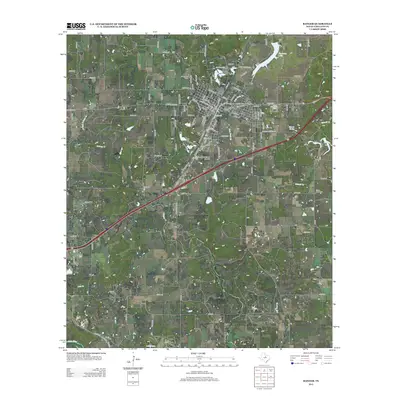
2012 Map of Ranger
USGS Topo · Published 2012About this map
Ranger serves as the focal point of this Eastland County landscape, characterized by the grid of its historic downtown and the campus of Ranger Coll. The town's local history is anchored by Evergreen Cem and Pioneer Cem, while the surrounding rural areas are marked by smaller outposts like Olden and Tiffin. The transport network shows a clear transition from the legacy of Old US Highway 80 to the modern path of the interstate, which cuts across the central terrain.
Find a feature on this map
108 named features on this map. Tap any name to fly to it.
Don’t see what you’re looking for? This feature index may not catch every label — zoom into the map to look around manually.
Map Details
Editions of this 2012 Ranger Map
This is the sole edition of this map. No revisions or reprints were ever made.
Other maps of this area

1890 · Breckenridge
USGS Topo · 1:125,000

1894 · Eastland
USGS Topo · 1:125,000

1954 · Abilene
USGS Topo · 1:250,000

1958 · Abilene
USGS Topo · 1:250,000

1966 · Kokomo
USGS Topo · 1:24,000
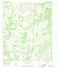
1966 · Desdemona
USGS Topo · 1:24,000

1966 · Carbon
USGS Topo · 1:24,000
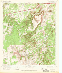
1966 · Bear Mountain
USGS Topo · 1:24,000

1966 · Eastland
USGS Topo · 1:24,000

1966 · Ranger
USGS Topo · 1:24,000