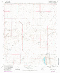
1970 Map of Ranger Lake
USGS Topo · Published 1985About this map
Ranger Lake and its surrounding high plains in Lea County are defined by a network of windmills and petroleum infrastructure as they appeared in the early 1970s. This land, primarily used for ranching, relies on groundwater sources marked by numerous family and locational landmarks such as Mixon Windmill, Bull Windmill, and the West Windmill. The presence of several Oil Wells and a Radio Tower indicate the diversification of the local economy into energy and telecommunications during this era. A significant Spring and the Ranger Lake Windmill highlight the critical importance of water management in this arid environment, while the scattered Drill Hole locations and a Gravel Pit suggest active resource exploration and road-building efforts across the county's townships.
Find a feature on this map
18 named features on this map. Tap any name to fly to it.
Don’t see what you’re looking for? This feature index may not catch every label — zoom into the map to look around manually.
Map Details
Editions of this 1970 Ranger Lake Map
2 editions found
Other maps of this area

1954 · Brownfield
USGS Topo · 1:250,000

1958 · Brownfield
USGS Topo · 1:250,000

1961 · Johnson Ranch
USGS Topo · 1:24,000

1962 · Brownfield
USGS Topo · 1:250,000

1970 · Walking Cane Ranch
USGS Topo · 1:24,000

1970 · Gladiola
USGS Topo · 1:24,000

1970 · Johnson Ranch
USGS Topo · 1:24,000

1970 · Simanola Valley
USGS Topo · 1:24,000

1970 · Ranger Lake
USGS Topo · 1:24,000

1970 · Tatum North
USGS Topo · 1:24,000