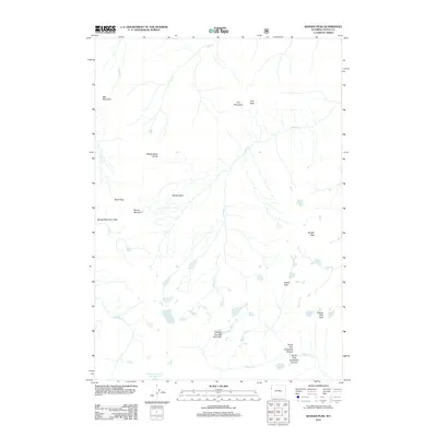
2012 Map of Ranger Peak
USGS Topo · Published 2012About this map
Moose Basin and its surrounding high-altitude terrain define this 2012 survey of the Teton range. The landscape is characterized by a network of drainage systems and isolated peaks, where Moose Cr flows through the central valley beneath the heights of Ranger Peak and Doane Peak. The map provides a detailed look at alpine hydrology, featuring small, high-elevation bodies of water like Talus Lake, Dudley Lake, and the non-officially named Ortenburger Lake.
Find a feature on this map
25 named features on this map. Tap any name to fly to it.
Don’t see what you’re looking for? This feature index may not catch every label — zoom into the map to look around manually.
Map Details
Editions of this 2012 Ranger Peak Map
This is the sole edition of this map. No revisions or reprints were ever made.
Other maps of this area

1886 · Shoshone
USGS Topo · 1:125,000

1888 · Shoshone
USGS Topo · 1:125,000

1895 · Shoshone
USGS Topo · 1:125,000

1899 · Grand Teton
USGS Topo · 1:125,000

1901 · Shoshone
USGS Topo · 1:125,000

1901 · Grand Teton
USGS Topo · 1:125,000

1908 · Shoshone
USGS Topo · 1:125,000

1911 · Shoshone
USGS Topo · 1:125,000

1955 · Ashton
USGS Topo · 1:250,000

1955 · Driggs
USGS Topo · 1:250,000