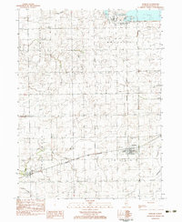
1983 Map of Ransom
USGS Topo · Published 1983About this map
Ransom serves as the primary hub on this early 1980s survey, situated along the Atchison Topeka and Santa Fe railroad in southern La Salle County. The landscape is characterized by its agricultural grid, intersected by an extensive network of waterways including Otter Creek, Hog Run, and Covel Creek. To the north, the emergence of heavy infrastructure is evident with the La Salle County Powerplant (under construction), marking a significant shift in the local industrial footprint.
Find a feature on this map
19 named features on this map. Tap any name to fly to it.
Don’t see what you’re looking for? This feature index may not catch every label — zoom into the map to look around manually.
Map Details
Editions of this 1983 Ransom Map
This is the sole edition of this map. No revisions or reprints were ever made.
Other maps of this area

1892 · Marseilles
USGS Topo · 1:62,500

1892 · Ottawa
USGS Topo · 1:62,500

1915 · Ottawa
USGS Topo · 1:62,500

1916 · Marseilles
USGS Topo · 1:62,500

1925 · Streator
USGS Topo · 1:62,500

1927 · Streator
USGS Topo · 1:62,500

1940 · Marseilles
USGS Topo · 1:62,500

1946 · Ottawa
USGS Topo · 1:62,500

1958 · Odell
USGS Topo · 1:62,500

1958 · Aurora
USGS Topo · 1:250,000