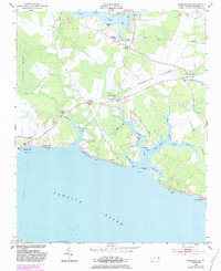
1951 Map of Ransomville
USGS Topo · Published 1983About this map
The Pamlico River frontage and the intricate drainage of the inner coastal plain define this mid-century look at Beaufort County. Small agricultural and fishing settlements like Winsteadville and Ransomville anchor a landscape divided by numerous guts and creeks, including Burbage Gut and Asbon Gut. The presence of Holly Grove Ch, North Creek Ch, and St Clair Ch suggests established rural communities whose centers of life were these country churches and the nearby Sidney Crossroads.
Find a feature on this map
52 named features on this map. Tap any name to fly to it.
Don’t see what you’re looking for? This feature index may not catch every label — zoom into the map to look around manually.
Map Details
Editions of this 1951 Ransomville Map
3 editions found
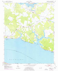
Other maps of this area

1914 · Belhaven
USGS Topo · 1:48,000

1916 · Belhaven
USGS Topo · 1:62,500

1943 · Plymouth
USGS Topo · 1:125,000

1950 · Lowland
USGS Topo · 1:24,000

1950 · South Creek
USGS Topo · 1:24,000

1950 · Pinetown
USGS Topo · 1:24,000

1950 · Aurora
USGS Topo · 1:24,000

1951 · Bath
USGS Topo · 1:24,000

1951 · Ransomville
USGS Topo · 1:24,000

1951 · Pamlico Beach
USGS Topo · 1:24,000