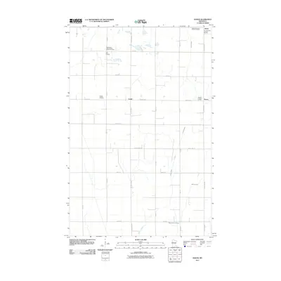
2011 Map of Ranum
USGS Topo · Published 2011About this map
Sundal and the surrounding prairie of Norman County appear here as a landscape defined by its Scandinavian heritage and agricultural layout. The settlement of Sundal sits at the intersection of County Hwy-7 and County Hwy-34, serving as a central point for a region dotted with numerous denominational burial grounds. These sites, such as the Faaberg Norwegian Lutheran Cemetery and Zion Norwegian Lutheran Cemetery near Rindal, provide significant genealogical touchstones for families of the Red River Valley. The terrain is notably flat, drained by the meandering Garden Slough and Mashaug Creek, which cut through the rectilinear grid of township roads. Other localized landmarks like the International Order of Good Templars Cemetery and Ness Lutheran Cemetery further emphasize the deep community roots established by early fraternal and religious organizations in this part of Minnesota.
Find a feature on this map
25 named features on this map. Tap any name to fly to it.
Don’t see what you’re looking for? This feature index may not catch every label — zoom into the map to look around manually.
Map Details
Editions of this 2011 Ranum Map
This is the sole edition of this map. No revisions or reprints were ever made.
Other maps of this area

1918 · Twin Valley
USGS Topo · 1:62,500

1919 · Valley
USGS Topo · 1:62,500

1952 · Grand Forks
USGS Topo · 1:250,000

1956 · Grand Forks
USGS Topo · 1:250,000

1965 · Fertile
USGS Topo · 1:24,000

1965 · Waukon
USGS Topo · 1:24,000

1965 · Twin Valley
USGS Topo · 1:24,000

1965 · Flaming
USGS Topo · 1:24,000

1966 · Grand Forks
USGS Topo · 1:250,000
1966 · Halverson Lake
USGS Topo · 1:24,000