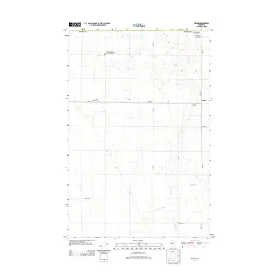
2013 Map of Ranum
USGS Topo · Published 2013About this map
Sundal and Ranum anchor this section of Norman County, which is defined by a deep concentration of nineteenth and early twentieth-century heritage sites. The landscape is characterized by a high density of rural burial grounds, many belonging to specific ethnic and fraternal organizations. These include the Faaberg Norwegian Lutheran Cem, Zion Norwegian Lutheran Cem, and the notable International Order of Good Templars Cem, reflecting the cultural and social fabric of the early settlement era.
Find a feature on this map
26 named features on this map. Tap any name to fly to it.
Don’t see what you’re looking for? This feature index may not catch every label — zoom into the map to look around manually.
Map Details
Editions of this 2013 Ranum Map
This is the sole edition of this map. No revisions or reprints were ever made.
Other maps of this area

1918 · Twin Valley
USGS Topo · 1:62,500

1919 · Valley
USGS Topo · 1:62,500

1952 · Grand Forks
USGS Topo · 1:250,000

1956 · Grand Forks
USGS Topo · 1:250,000

1965 · Fertile
USGS Topo · 1:24,000

1965 · Waukon
USGS Topo · 1:24,000

1965 · Twin Valley
USGS Topo · 1:24,000

1965 · Flaming
USGS Topo · 1:24,000

1966 · Grand Forks
USGS Topo · 1:250,000
1966 · Halverson Lake
USGS Topo · 1:24,000