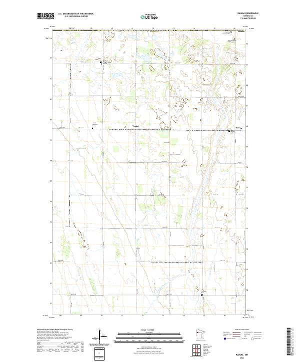
2022 Map of Ranum
USGS Topo · Published 2022About this map
Rindal, Sundal, and Ranum anchor this rural landscape in Norman County, defined by a distinct grid of section lines and gravel roads like Co Rd 34. The area is notably dense with commemorative and religious sites, reflecting the heritage of early Scandinavian and German settlers. Among these are the Zion Norwegian Lutheran Cem and the Faaberg Lutheran Cem in the north, while the International Order of Good Templars Cem near Saint Johns Cem points to the influence of fraternal temperance societies in the local social fabric.
Find a feature on this map
44 named features on this map. Tap any name to fly to it.
Don’t see what you’re looking for? This feature index may not catch every label — zoom into the map to look around manually.
Map Details
Editions of this 2022 Ranum Map
This is the sole edition of this map. No revisions or reprints were ever made.
Other maps of this area

1918 · Twin Valley
USGS Topo · 1:62,500

1919 · Valley
USGS Topo · 1:62,500

1952 · Grand Forks
USGS Topo · 1:250,000

1956 · Grand Forks
USGS Topo · 1:250,000

1965 · Fertile
USGS Topo · 1:24,000

1965 · Waukon
USGS Topo · 1:24,000

1965 · Twin Valley
USGS Topo · 1:24,000

1965 · Flaming
USGS Topo · 1:24,000

1966 · Grand Forks
USGS Topo · 1:250,000
1966 · Halverson Lake
USGS Topo · 1:24,000