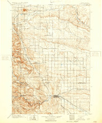
1903 Map of Rapid
USGS Topo · Published 1932About this map
Rapid City serves as the focal point of this turn-of-the-century landscape, positioned where the plains meet the foothills of the Black Hills National Forest. The map reflects a period of established military presence and educational infrastructure, notably the Fort Meade Military Reservation to the north and the Indian School just west of the city. Transportation is dominated by a converging network of railroads, including the Chicago and Northwestern and the Pierre Rapid City and Northwestern, which follow the natural contours of the land through gaps like Stage Barn Canyon. To the west, the terrain rises sharply into the mountains, marked by early industrial and agricultural outposts such as Pratts Mill and the Doc Dotie Ranch. The prominence of Bear Butte in the north and the winding course of Rapid Creek highlight the geographic transitions that shaped the region's early development.
Find a feature on this map
46 named features on this map. Tap any name to fly to it.
Don’t see what you’re looking for? This feature index may not catch every label — zoom into the map to look around manually.
Map Details
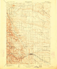
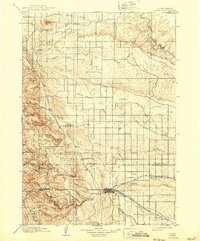
Editions of this 1903 Rapid Map
4 editions found
Other maps of this area

1893 · Rapid
USGS Topo · 1:125,000

1894 · Deadwood
USGS Topo · 1:125,000

1894 · Hermosa
USGS Topo · 1:125,000

1896 · Harney Peak
USGS Topo · 1:125,000

1898 · Rapid
USGS Topo · 1:125,000

1899 · Sturgis
USGS Topo · 1:62,500

1901 · Hermosa
USGS Topo · 1:125,000

1901 · Harney Peak
USGS Topo · 1:125,000

1901 · Deadwood
USGS Topo · 1:125,000

1903 · Rapid
USGS Topo · 1:125,000