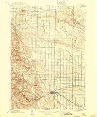
1903 Map of Rapid
USGS Topo · Published 1943About this map
Rapid City serves as the focal point for this late nineteenth-century survey, sitting at the junction of the western Black Hills and the eastern plains. The landscape is defined by the heavy presence of the Fort Meade Military Reservation near Sturgis and the early boundaries of the Black Hills National Forest. Transportation routes of the Chicago and Northwestern railroad link settlements like Piedmont and Tilford, while smaller communities such as Pactola and Nemo are established deep within the gulches and canyons to the west.
Find a feature on this map
45 named features on this map. Tap any name to fly to it.
Don’t see what you’re looking for? This feature index may not catch every label — zoom into the map to look around manually.
Map Details
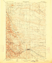
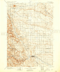
Editions of this 1903 Rapid Map
4 editions found
Other maps of this area

1893 · Rapid
USGS Topo · 1:125,000

1894 · Deadwood
USGS Topo · 1:125,000

1894 · Hermosa
USGS Topo · 1:125,000

1896 · Harney Peak
USGS Topo · 1:125,000

1898 · Rapid
USGS Topo · 1:125,000

1899 · Sturgis
USGS Topo · 1:62,500

1901 · Hermosa
USGS Topo · 1:125,000

1901 · Harney Peak
USGS Topo · 1:125,000

1901 · Deadwood
USGS Topo · 1:125,000

1903 · Rapid
USGS Topo · 1:125,000