1903 Map of Raquette Lake
USGS Topo · Published 1930About this map
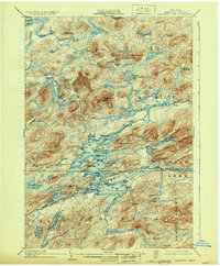
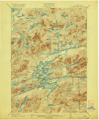
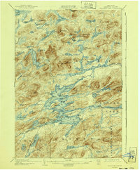
Forked Lake and the vast waters of the central Adirondacks define this turn-of-the-century landscape, captured in a period when the region was primarily a wilderness of private estates and early outdoor tourism. The map highlights a significant Steamboat Route cutting through the center of the lake system, providing a rare look at the primary transportation artery before modern road networks. Settlement is sparse, represented by occasional outposts like Camp and Fish Camp, while numerous family-named landmarks such as Whitney's Little Forked Lake and Antlers Point reveal the early footprints of storied camps and retreats. From the northern reaches of Lake Lila to the southern elevation of Blue Ridge, the intricate drainage of brooks and ponds, including Shingle Shanty Brook and Sargent Ponds, illustrates the complex geography of the Raquette River watershed in its nearly primordial state.
Find a feature on this map
108 named features on this map. Tap any name to fly to it.
Don’t see what you’re looking for? This feature index may not catch every label — zoom into the map to look around manually.
Map Details
Editions of this 1903 Raquette Lake Map
13 editions found

1903 edition
16.6 x 20.1 inches
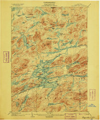
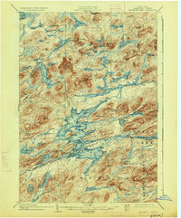
1906 edition
16.7 x 20.1 inches
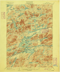
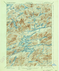
1909 edition
16.6 x 20 inches
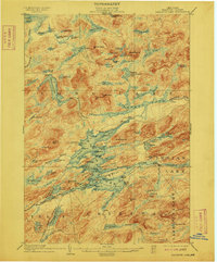
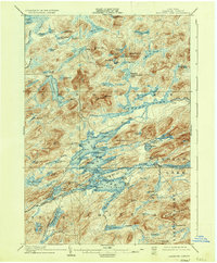
1912 edition
16.6 x 20 inches
1921 edition
16.6 x 20.1 inches
1926 edition
16.6 x 20.1 inches
1930 edition
16.6 x 20.1 inches
1933 edition
16.5 x 19.9 inches
1936 edition
16.6 x 20.1 inches
1940 edition
16.6 x 20.1 inches
1946 edition
17 x 20.9 inches
1947 edition
17.1 x 20.9 inches
1951 edition
17 x 20.9 inches
Other maps of this area

1899 · Indian Lake
USGS Topo · 1:62,500

1900 · Canada Lake
USGS Topo · 1:62,500

1901 · Old Forge
USGS Topo · 1:62,500

1902 · Indian Lake
USGS Topo · 1:62,500

1903 · Big Moose
USGS Topo · 1:62,500

1903 · West Canada Lakes
USGS Topo · 1:62,500
1903 · Raquette Lake
USGS Topo · 1:62,500

1903 · Blue Mountain
USGS Topo · 1:62,500

1904 · Long Lake
USGS Topo · 1:62,500

1907 · Tupper Lake
USGS Topo · 1:62,500