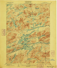
1903 Map of Raquette Lake
USGS Topo · Published 1906About this map
Raquette Lake Ry terminates deep in the Adirondack interior, marking a period of expansion where rail and water transport integrated to serve seasonal camps and the logging industry. This 1903 survey illustrates a complex network of waterways, including the winding Steamboat Route that navigated the irregular bays and points of the central lakes. The landscape is defined by its numerous isolated water bodies, from Whitney's Little Forked Lake to the more remote Lake Lila in the northwest corner. Peaks like Salmon Lake Mt and Estelle Mt surround these basins, while the Blue Ridge dominates the southeastern quadrant. The map reveals the early 20th-century character of Hamilton, New York, where large private holdings like Brandreth Lake and scattered outposts like Fish Camp were linked by primitive trails and the expanding rail line.
Find a feature on this map
116 named features on this map. Tap any name to fly to it.
Don’t see what you’re looking for? This feature index may not catch every label — zoom into the map to look around manually.
Map Details
Editions of this 1903 Raquette Lake Map
13 editions found

1903 edition
16.6 x 20.1 inches
1906 edition
16.7 x 20.1 inches
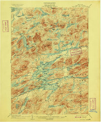
1909 edition
16.6 x 20 inches
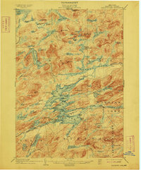
1912 edition
16.6 x 20 inches
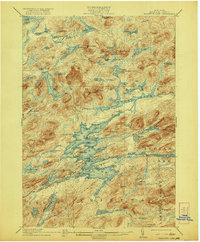
1921 edition
16.6 x 20.1 inches
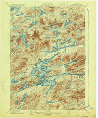
1926 edition
16.6 x 20.1 inches
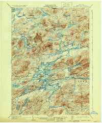
1930 edition
16.6 x 20.1 inches
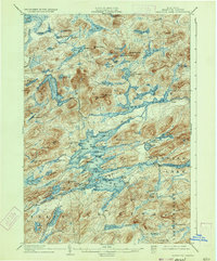
1933 edition
16.5 x 19.9 inches
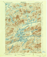
1936 edition
16.6 x 20.1 inches
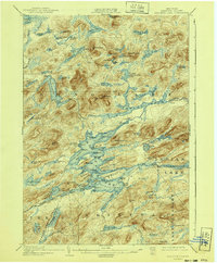
1940 edition
16.6 x 20.1 inches
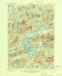
1946 edition
17 x 20.9 inches
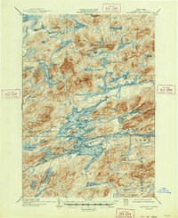
1947 edition
17.1 x 20.9 inches
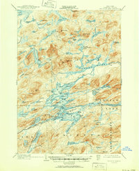
1951 edition
17 x 20.9 inches
Other maps of this area

1899 · Indian Lake
USGS Topo · 1:62,500

1900 · Canada Lake
USGS Topo · 1:62,500

1901 · Old Forge
USGS Topo · 1:62,500

1902 · Indian Lake
USGS Topo · 1:62,500

1903 · Big Moose
USGS Topo · 1:62,500

1903 · West Canada Lakes
USGS Topo · 1:62,500
1903 · Raquette Lake
USGS Topo · 1:62,500

1903 · Blue Mountain
USGS Topo · 1:62,500

1904 · Long Lake
USGS Topo · 1:62,500

1907 · Tupper Lake
USGS Topo · 1:62,500