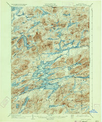
1903 Map of Raquette Lake
USGS Topo · Published 1933About this map
The waters of the Adirondacks dominate this 1899 survey, highlighting a landscape defined by interconnected lakes and the early transit corridors of Hamilton County. The designated Steamboat Route cuts through the central waters, linking remote outposts and emphasizing the era's reliance on waterborne travel before the expansion of modern road networks. Expansive bodies like Brandreth Lake and Forked Lake are surrounded by a dense topography of peaks, including Niggerhead Mt. and Moose Pond Mt..
Find a feature on this map
112 named features on this map. Tap any name to fly to it.
Don’t see what you’re looking for? This feature index may not catch every label — zoom into the map to look around manually.
Map Details
Editions of this 1903 Raquette Lake Map
13 editions found

1903 edition
16.6 x 20.1 inches
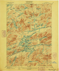
1906 edition
16.7 x 20.1 inches
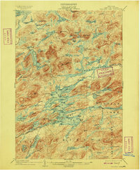
1909 edition
16.6 x 20 inches
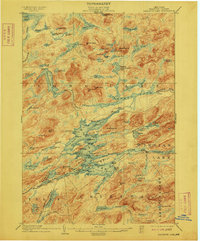
1912 edition
16.6 x 20 inches
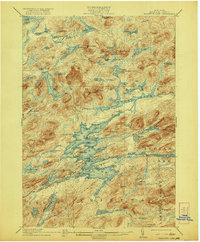
1921 edition
16.6 x 20.1 inches
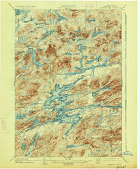
1926 edition
16.6 x 20.1 inches
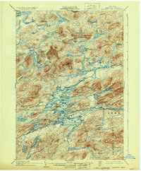
1930 edition
16.6 x 20.1 inches
1933 edition
16.5 x 19.9 inches
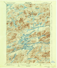
1936 edition
16.6 x 20.1 inches
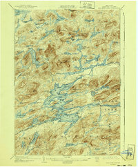
1940 edition
16.6 x 20.1 inches
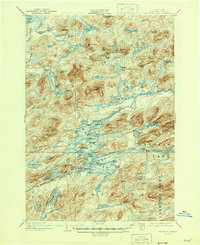
1946 edition
17 x 20.9 inches
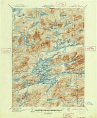
1947 edition
17.1 x 20.9 inches
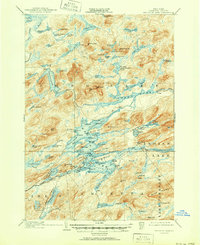
1951 edition
17 x 20.9 inches
Other maps of this area

1899 · Indian Lake
USGS Topo · 1:62,500

1900 · Canada Lake
USGS Topo · 1:62,500

1901 · Old Forge
USGS Topo · 1:62,500

1902 · Indian Lake
USGS Topo · 1:62,500

1903 · Big Moose
USGS Topo · 1:62,500

1903 · West Canada Lakes
USGS Topo · 1:62,500
1903 · Raquette Lake
USGS Topo · 1:62,500

1903 · Blue Mountain
USGS Topo · 1:62,500

1904 · Long Lake
USGS Topo · 1:62,500

1907 · Tupper Lake
USGS Topo · 1:62,500