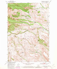
1951 Map of Raspberry Butte
USGS Topo · Published 1981About this map
Gallatin Crazy Mountains National Forest provides the backdrop for this mid-century survey of the rugged landscape in Sweet Grass County. The map documents a transition in land use, showing several sites such as Grosfield Homestead and Hauge Homestead marked as abandoned, while other working properties like Morris Ranch and Cole Ranch persist. The presence of the Swamp Creek School suggests a once-active community supported by the local livestock and homesteading economy.
Find a feature on this map
35 named features on this map. Tap any name to fly to it.
Don’t see what you’re looking for? This feature index may not catch every label — zoom into the map to look around manually.
Map Details
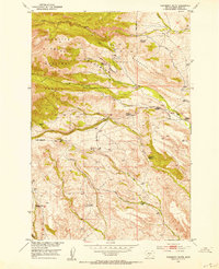
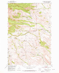
Editions of this 1951 Raspberry Butte Map
3 editions found
Other maps of this area

1886 · Little Belt Mts.
USGS Topo · 1:250,000

1891 · Livingston
USGS Topo · 1:250,000

1893 · Livingston
USGS Topo · 1:250,000

1894 · Little Belt Mts.
USGS Topo · 1:250,000

1897 · Little Belt Mts.
USGS Topo · 1:250,000

1898 · Little Belt Mts.
USGS Topo · 1:250,000

1902 · Little Belt Mts.
USGS Topo · 1:250,000

1947 · Bozeman
USGS Topo · 1:250,000

1948 · Bozeman
USGS Topo · 1:250,000

1948 · White Sulphur Springs
USGS Topo · 1:250,000