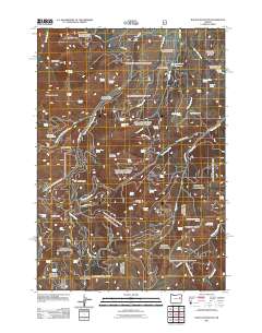
2011 Map of Rastus Mountain
USGS Topo · Published 2011About this map
Thomason Mine and Schwayder Mine sit in the northern high ground of this Malheur County landscape, marking the historical mineral interests that once drew prospectors to these slopes. The terrain is defined by a dense network of hydrologic features and springs, such as Cowboy Spring and Hole in the Ground Spring, which feed into major drainages like Bullrun Creek and the multiple forks of West Camp Creek.
Find a feature on this map
65 named features on this map. Tap any name to fly to it.
Don’t see what you’re looking for? This feature index may not catch every label — zoom into the map to look around manually.
Map Details
Editions of this 2011 Rastus Mountain Map
This is the sole edition of this map. No revisions or reprints were ever made.
Other maps of this area

1908 · Ironside Mountain
USGS Topo · 1:125,000

1955 · Canyon City
USGS Topo · 1:250,000

1959 · Canyon City
USGS Topo · 1:250,000

1970 · Flag Prairie
USGS Topo · 1:62,500

1970 · Castle Rock
USGS Topo · 1:62,500
1972 · Hereford
USGS Topo · 1:24,000
1972 · Unity
USGS Topo · 1:24,000
1972 · Bullrun Rock
USGS Topo · 1:24,000
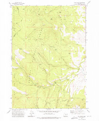
1972 · Rail Gulch
USGS Topo · 1:24,000
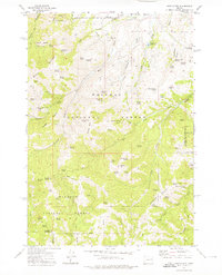
1972 · Rastus Mtn
USGS Topo · 1:24,000