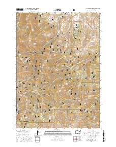
2017 Map of Rastus Mountain
USGS Topo · Published 2017About this map
Whitman National Forest and Malheur National Forest converge in this high-altitude landscape where Baker, Grant, and Malheur counties meet. The terrain is defined by a series of prominent peaks and ridges, including Rastus Mtn, Bullrun Mtn, and Waqima Butte. Water management is central to the area's geography, evidenced by the Long Creek Reservoir, Divide Pond, and an extensive network of springs such as Crystal Spring and Lizard Spring. Historical land use is suggested by features like Williams Ditch and Johnson Ditch Spring, which point to early efforts to divert water across this complex topography. The presence of Murray Pasture and several named ponds indicates the region's importance for seasonal grazing within the national forest boundaries. A dense network of Forest Service roads, including NFD Road 1680 Rd, provides access through deep drainages like Skull Gulch and Johnson Gulch.
Find a feature on this map
83 named features on this map. Tap any name to fly to it.
Don’t see what you’re looking for? This feature index may not catch every label — zoom into the map to look around manually.
Map Details
Editions of this 2017 Rastus Mountain Map
This is the sole edition of this map. No revisions or reprints were ever made.
Other maps of this area

1908 · Ironside Mountain
USGS Topo · 1:125,000

1955 · Canyon City
USGS Topo · 1:250,000

1959 · Canyon City
USGS Topo · 1:250,000

1970 · Flag Prairie
USGS Topo · 1:62,500

1970 · Castle Rock
USGS Topo · 1:62,500
1972 · Hereford
USGS Topo · 1:24,000
1972 · Unity
USGS Topo · 1:24,000
1972 · Bullrun Rock
USGS Topo · 1:24,000
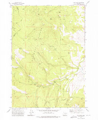
1972 · Rail Gulch
USGS Topo · 1:24,000
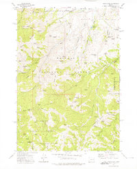
1972 · Rastus Mtn
USGS Topo · 1:24,000