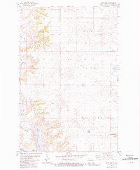
1981 Map of Rat Lake
USGS Topo · Published 1981About this map
Lake Sakakawea and the Missouri River define the southern landscape of this 1981 survey in Mountrail County. The terrain is characterized by the winding path of the White Earth River, which feeds into White Earth Bay. This area serves as a significant ecological corridor, evidenced by the large National Waterfowl Production Area located in the southeastern quadrant near Robinson Lake. The map details a transition from the river valley to the higher plateau of Deering, marked by numerous small depressions and water bodies typical of this northern plains region. A Gravel Pit near the center of the sheet indicates local industry tied to the land's geological makeup. The survey also captures the original underwater contours of Lake Sakakawea, sourced from earlier USCE records, showing the topography of the river valley before the reservoir reached its full extent.
Find a feature on this map
11 named features on this map. Tap any name to fly to it.
Don’t see what you’re looking for? This feature index may not catch every label — zoom into the map to look around manually.
Map Details
Editions of this 1981 Rat Lake Map
This is the sole edition of this map. No revisions or reprints were ever made.
Other maps of this area

1953 · Williston
USGS Topo · 1:250,000

1957 · Williston
USGS Topo · 1:250,000

1965 · Charlson
USGS Topo · 1:24,000

1965 · Charlson NE
USGS Topo · 1:24,000

1979 · Tioga SE
USGS Topo · 1:24,000

1981 · Robinson Lake
USGS Topo · 1:24,000
1981 · Rat Lake SE
USGS Topo · 1:24,000

1981 · Ross
USGS Topo · 1:24,000

1981 · Manitou
USGS Topo · 1:24,000
1981 · Rat Lake SW
USGS Topo · 1:24,000